
CZAR: Georgioupolis - Outdoors Mobile Augmented Reality for Coastal Erosion Visualization Based on Geographical Data
Minas Katsiokalis
Type: Thesis · Supervisor: Katerina Mania
Collaborators: Dr Lemonia Ragia (Athena Research and Innovation Information Technologies)
Research Domains: Augmented Reality, Visualization of Geospatial Data
Abstract
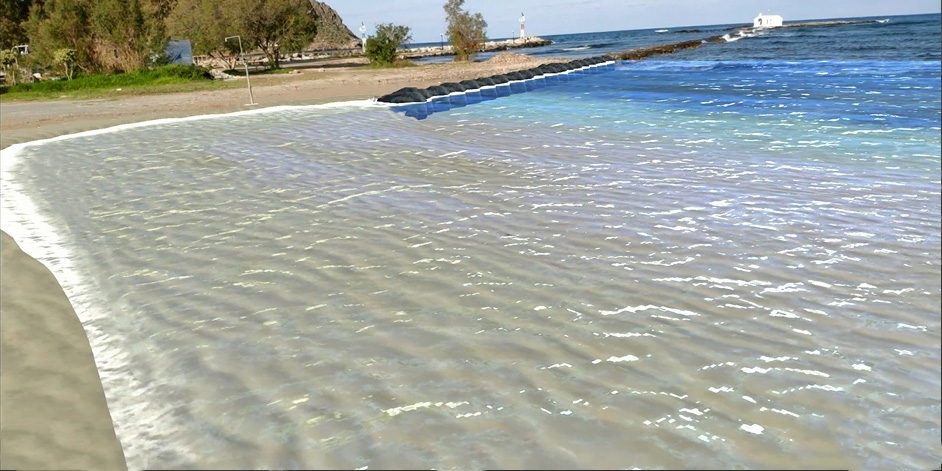
In this thesis we present a mobile augmented reality application for coastal erosion visualization based on geographical data, at the beach of Georgioupoli in Chania. The main focus of this work is to provide a mean for the 3D on-site visualization of the future state of the beach and increase the awareness of the public audience about the coastal erosion e ect that takes place in many coastal areas of the Crete island.
In this application we feature two future scenarios in three di erent locations of the beach. The 1st scenario is showing the beach under 3.6 meters retreat inland and the second scenario showing the beach under 7.7 meters retreat inland. Both scenarios correspond to the tendency of the beach after the minimum and maximum sea level rise expectation (SLR) in a time interval of 80 years.
Advances in mobile technology have brought Augmented Reality to the wider public by utilizing the camera, GPS and inertial sensors present in modern smartphones. Upon visiting these locations a virtual scene is matched to the user’s position and after a short process the user can experience the visualization. Position tracking is performed by utilizing the phone’s GPS and the computer vision capabilities of the chosen AR framework. A location aware experience was designed and integrated to ensure the loading of the right content at each location, avoiding unnecessary rendering of graphics and ensuring user is located in the area of Georgioupoli. The application provides a map which can be used to notify the user about the locations of interest as well as to get directions and visit whichever he/she desires.
The application makes use of modern AR frameworks and rendering methods for mobile AR development. By combining AR technologies with geo-spatial data we aim to enhance user’s understanding of those data and increase people’s knowledge on crucial environmental phenomena like coastal erosion, focusing on a high risk area such as Georgioupoli.
This thesis made in collaboration with Dr.Lemonia Ragia, whom have made an extensive research on the coastal erosion phenomenon of the shoreline of the Crete island.
Publications
Katsiokalis, M., Ragia, L., Mania, K. (2020). Outdoors Mobile Augmented Reality for Coastal Erosion Visualization Based on Geographical Data. In Proc. XR workshop at ACM Intl. conf. on Interactive Surfaces and Spaces (ACM ISS 2020). PDF